LiDAR Interpretation of the Area of Prehistoric Hillforts in the Territory of the Municipality of Miren-Kostanjevica
The document “LiDAR Interpretation of the Area of Prehistoric Hillforts in the Territory of the Municipality of Miren-Kostanjevica” presents the results of LiDAR analysis applied to the study of prehistoric hillforts in the territory of the Municipality of Miren-Kostanjevica, carried out within the framework of the Interreg VI-A Italy–Slovenia KAŠTellieri project.
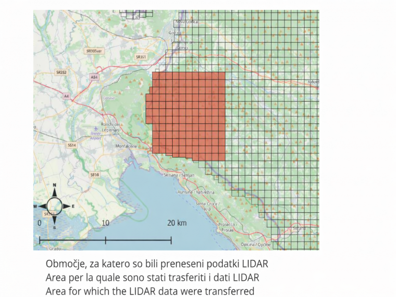
Through the processing of laser scanner data (Digital Terrain Model – DTM, hillshade, Local Relief Model, and VAT), the study enabled more precise documentation of already known sites – such as Sveti Ambrož, Grmača, and Vojščica – and led to the identification of previously unknown fortified complexes. The integration of digital analysis and field surveys made it possible to reconstruct defensive systems, terraces, ancient road networks, and land divisions, improving the understanding of landscape organization from the Bronze Age and Iron Age through later periods.
The work makes a significant contribution to the enhancement and protection of the archaeological heritage of the cross-border Karst area, providing innovative tools for research, spatial planning, and the development of sustainable cultural tourism.