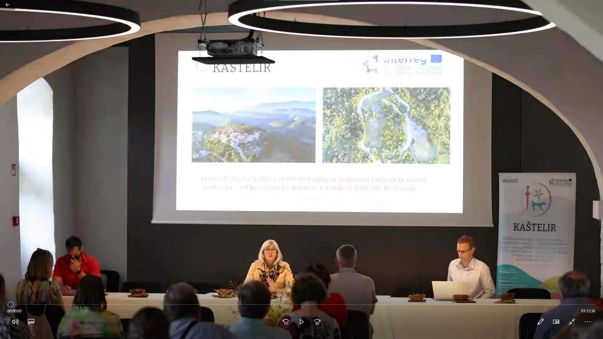
Presentation of the KAŠTELIR project
The project "Prehistoric Hill Forts and Ethnobotany for Sustainable Tourism and Rural Development - from the Karst (via Brkini, Čičarija and Istria) to Kvarner", with the acronym KAŠTELIR, is part of the Interreg V-A Slovenia-Croatia Cooperation Program. The active implementation of the project began on 1 October 2018. The red thread of the project are the remains of hill forts (castellieri), this today neglected cultural heritage, dating from the prehistoric period (from the Bronze and Iron Ages – ie. the 2nd and 1st millenium BC). Their surprising density in the wider area of Primorska, Istria and Kvarner testifies to the common natural features and common history and the unity of this area in prehistory. With the overgrowing of hill forts, the emigration of the local population and the loss of tradition and connections with the ancient past, knowledge about the then growing plants of this area and their use was also lost. Therefore, the main purpose of the project is the active preservation of the heritage of hill forts, namely through their evaluation, protection, revitalisation and promotion. With this project, we also want to revive the ancient connection between people and plants and present it according to modern times, so that it will serve sustainable cross-border tourism, rural development and sustainable environmental management.
Project information:
- Priority axis of the programme: Conservation and sustainable use of natural and cultural resources,
- Sprecific objective of the programme: Active heritage preservation through sustainable tourism,
- Start and duration of the project: from 1 October 2018, duration 33 months (until 30 June 2021),
- project value: EUR 1.416.321,03,
- Number of partners: 8 (4 Slovenian and 4 Croatian) - Municipality of Komen, Municipality of Izola, University of Maribor, Institute IRRIS, Istria County, Municipality of Lanišće, Municipality of Mošćenička Draga, Public institution "Učka nature Park".
Project manager: Astrid Prašnikar
Project team by project partners:
- Municipality of Komen: Uroš Skok
- Municipality of Izola: Iztok Škerlič, Olga Kaliada
- University of Maribor: Mitja Kaligarič, Darko Friš, Mateja Friš, Gregor Fištravec,
- The Institute IRRIS for Research, Development and Strategies of Society, Culture and Environment: Darko Darovec, Arnela Abdić
- Istria County: Ezio Pinzan, Maja Vižintin
- Municipality of Mošćenička Draga: Natali Iskra
- Municipality of Lanišće: Roberta Medica, Lorena Žakić
- Public institution "Učka nature Park": Egon Vasilić, Hrvoje Krivošić
Main results and outputs of the project:
- "THE LAND OF PREHISTORIC HILLFORTS ~ CASTELLIERI", a new cross-border destination of sustainable tourism with 13 thematic ARCHAEOLOGICAL TRAILS and 8 BOTANICAL TRAILS. We connected 48 selected hillforts from the Karst to Kvarner. You can visit them through the web and mobile app KAŠTELIR;
- FOUR ARCHAEOLOGICAL PARKS arranged on the central hillforts: Štanjel (Komen, SI), Korte nad Izolo (Izola, SI), Rašpor and Račja vas (Lanišče, HR), Ozida (Mošćenička Draga, HR). Each archeological park also has its own internal info-interpretation point;
- CROSS-BORDER CONSORTIUM for prehistoric hillforts - castellieri;
- MANAGEMENT PLANS for four central revived hillforts;
- BOTANICAL GUIDE: Useful plants from the Karst to Kvarner: A manual for identifying wild plants with an emphasis on their usefulness, along with a code for harvesting useful plants;
- EXPERIMENTAL PLANTATIONS of protected plants – Great Yellow Gentian;
- GENE BANK with 50 species of useful plants;
- MONOGRAPHY: Prehistoric Hillforts and Ethnobotany for Sustainable Tourism;
- PICTURE BOOK: The Holy Sword of Justice, depicting life at that time;
- 3D VIEWS of 4 selected hillforts;
- NEW TOURIST PACKAGES, EXPERIENCES, FESTIVALS;
- INTERACTIVE TOURIST GUIDE;
- PREHISTORIC DISH served in a handmade, modern version of PREHISTORIC CERAMIC BOWLS;
- OTHER TOURIST SOUVENIRS - HANDMADE "PREHISTORIC BOWLS" filled with various local herbs, which are made in the social care institution Dom na Krasu Dutovlje;
- DOCUMENTARY FILM, PROMOTIONAL FILMS about 4 main points and FILM ABOUT THE PROJECT;
- WORKSHOPS
Movie about the project Kaštelir
3. dan kaštelirjev, presentation of project achievements